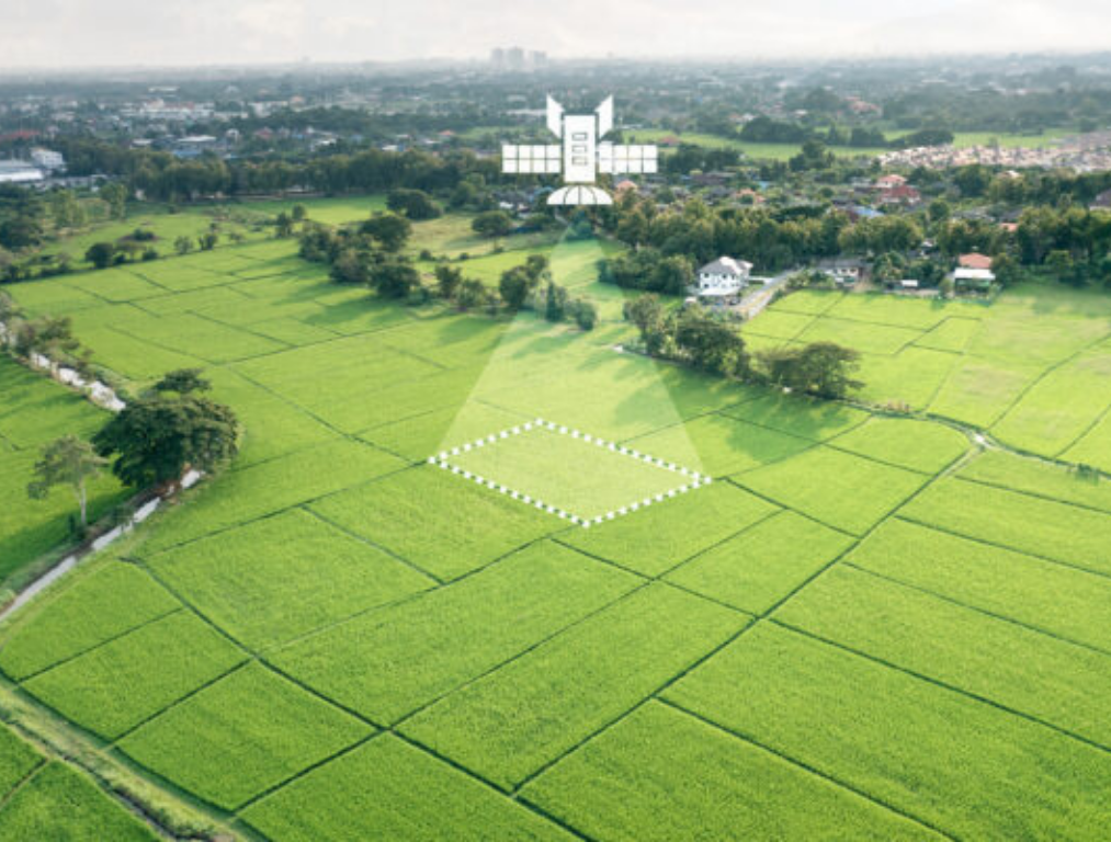
Skeye’s AI-Powered Geospatial Analytics enables governmental agencies and agricultural organisations to make smarter, data-driven decisions using high-resolution satellite imagery.
Our advanced object detection technology identifies and monitors key agricultural assets, from crop fields and irrigation systems to farm infrastructure, all remotely.
Transforming Land Management with Intelligent Automation
Custom Dataset Creation
Skeye developed a specialized training dataset using satellite imagery and local geospatial data from various regions with diverse terrains and land-use patterns. This ensured that the AI model was tailored to recognize distinct geographical characteristics, including variations in landscape, vegetation, and the size of features such as agricultural fields, making it adaptable and accurate across different environments.
Automatic Land Use Comparison
Skeye’s Automatic Land Use Comparison system uses advanced AI to seamlessly match predicted land use with official land records. By automatically detecting discrepancies, it empowers organizations to quickly identify and review potential inaccuracies, improving transparency, efficiency, and decision-making in land management.
Seamless GPKG Integration
Skeye’s Smart Data Integration feature ensures effortless compatibility with existing land management systems. The AI model’s output is delivered in standardized GPKG files, preserving field geometries and enabling easy querying of attribute tables. This streamlined format allows organizations to detect changes and identify discrepancies instantly, eliminating the need for time-consuming manual processing.
Significant Time Savings
Manual land use verification often takes months to complete. With Skeye’s **Automated Land Use Verification**, this process is accelerated to just days or weeks. By dramatically reducing review times, organizations can process applications faster, enhance accuracy, and achieve greater overall operational efficiency.
Understand and manage your soil like never before. Through advanced satellite imagery and AI analytics, the platform identifies variations in soil quality, moisture levels, and nutrient distribution across entire fields, even before crops are planted.
By accurately detecting bare soil characteristics, such as texture, organic matter, and moisture retention, Skeye provides crucial insights for optimizing fertilizer use, irrigation planning, and seed selection. This enables data-driven decisions that enhance crop growth, improve sustainability, and reduce environmental impact.
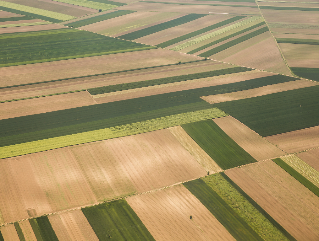
Understand how land is used and transformed over time with Skeye’s AI-powered satellite analytics. The platform automatically identifies arable land, crop boundaries, and land use changes, providing a clear, up-to-date view of agricultural activity.
By tracking field expansion, fallow zones, and encroachments, Skeye enables smarter planning, sustainable resource management, and data-driven policy decisions.
From governmental agencies to agricultural organisations, Skeye empowers users to optimize land productivity and support sustainable agricultural growth, turning satellite data into actionable insight for a more resilient future.
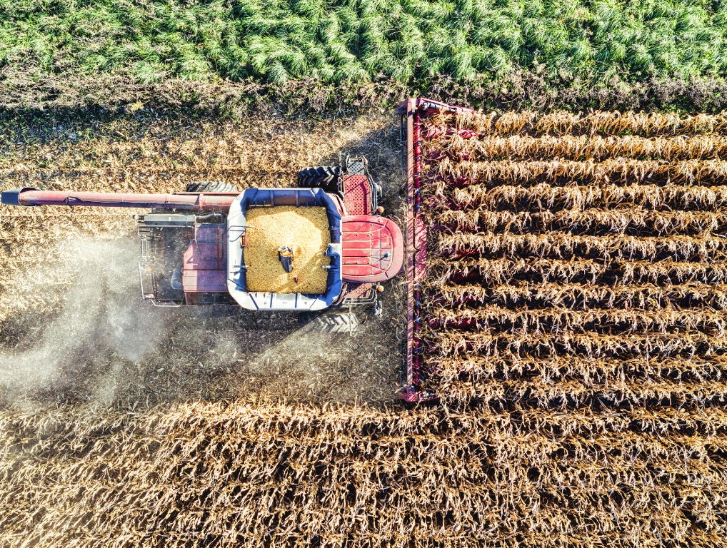
Skeye leverages AI and satellite-based analytics to track crop growth and environmental conditions, providing accurate yield predictions. With these insights,better harvest planning schedules,storage optimizing and logistics, and make informed decisions on market timing and resource management.
Skeye brings precision and efficiency to modern farming. Our AI-powered platform reduces the effort of crop scouting, enables targeted disease control, supports data-driven management, and improves resource allocation for higher yields and sustainability. Skeye helps agriculture thrive through clear, actionable insights from above.