Satellite Image Comparison Tool

Compare Satellite Images
With Ease
Understand What Changes In Seconds

View two layers, dates, or datasets of the same location side by side and identify changes faster.

Change Detection Layer Comparison Spectral Indices AI Validation Land Cover Analysis
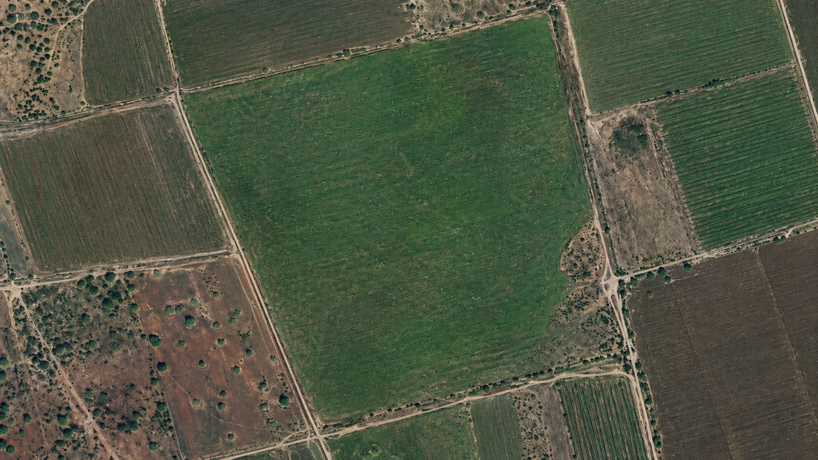
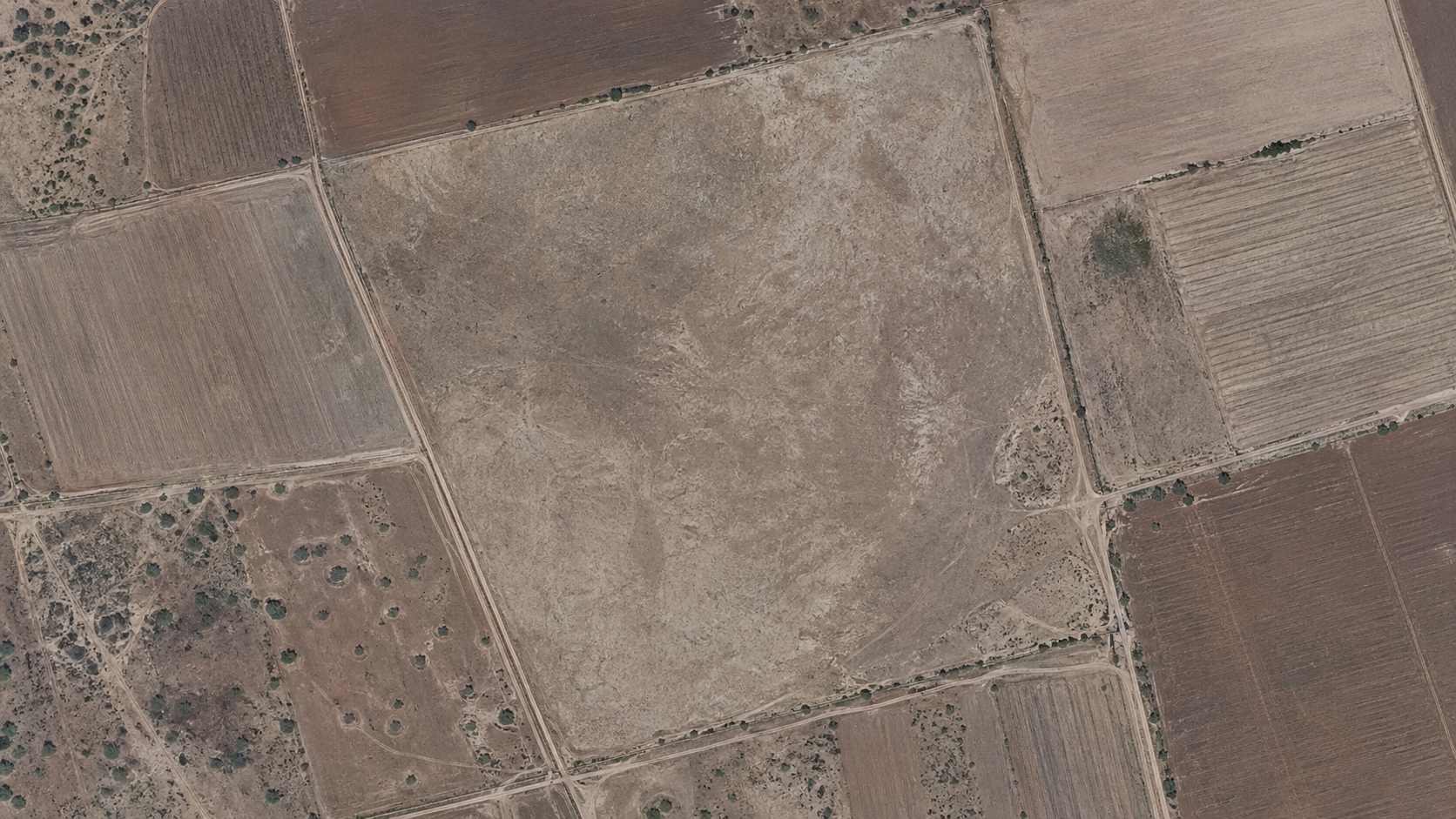
Satellite image after Satellite image before
Drag the slider to compare

One tool. Two perspectives. Clearer decisions.

Skeye's Satellite Image Comparison Tool lets you analyse the same area from different perspectives without switching between platforms or managing complex GIS workflows.

Compare satellite imagery from different dates, place AI-detected results next to the original imagery, or view spectral indices alongside high-resolution satellite views.

The result is a faster, more direct path from data to understanding, whether you're monitoring land use, tracking construction progress, or validating AI-generated insights directly on the satellite image.

What you can compare

  • Satellite images from different acquisition dates
  • Land-use and land-cover changes over time
  • Spectral indices: vegetation, water, soil, built-up
  • AI detection results against the source image
  • Before-and-after views for reporting and monitoring
  • No GIS or remote sensing expertise required

Built for teams that monitor the ground from above

Agriculture

Compare vegetation indices across dates to assess crop health, irrigation patterns, and seasonal change.

Environmental Monitoring

Compare land cover, water bodies, or forest zones before and after a natural event or intervention.

Construction & Infrastructure

Track site progress over time using satellite imagery from multiple acquisition dates.

Mining & Land Management

Monitor site expansion, land disturbance, and rehabilitation against surrounding environmental change.

AI Validation

Verify detected objects, fields, buildings, solar panels, and vehicles directly against the source imagery.

Explore changes directly on the satellite image.

See how Skeye helps organisations compare, monitor, and understand locations from above, without specialist tools or technical overhead.