Crop Group by Season
Permanent crops, winter or summer annuals, fallow land and greenhouses, read from how each field greens up and dies back.

We are building crop identification into Skeye right now. It will follow each of your fields through the season, tell you which crop group it holds and check that against what was declared, so you only send people to the fields that need a visit.
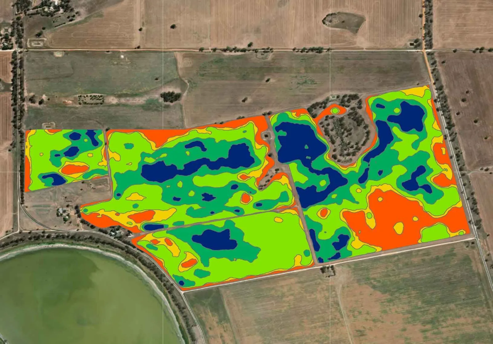
Checking what is growing usually means sending someone out, field after field, season after season, even when there turns out to be nothing to find.
Skeye will do that first check from satellite imagery, so your team can spend its time on the fields that genuinely need a closer look. We work from your own field boundaries, so every result belongs to a field you recognise.

We are working with ARPA, Malta's Agriculture and Rural Payments Agency.
Land use already tells you a field is cropland. Crop identification, which we are working on now, goes one step further and tells you what kind of cropping is happening there this season.
Permanent crops, winter or summer annuals, fallow land and greenhouses, read from how each field greens up and dies back.
Add the crops declared for each field and Skeye will mark which ones match, which need a second look and which do not match.
Results will be kept for every season, so you can follow how a field has been cropped over the years.
The same fields already carry NDVI, a standard measure of how green and healthy vegetation is, and bare soil readings for each capture date.
Share your field boundaries, and the declared crops if you have them. Use your own imagery or ours.
Skeye reads each field on every capture date, from first growth to harvest or bare ground.
You see a crop group and how confident Skeye is in it. We let you know when results are ready.
Filter to the flagged fields, compare two dates side by side and plan visits only where they are needed.
We are starting with crop groups: permanent crops, winter annuals, summer annuals, fallow land and greenhouses. Specific crop types will follow as we validate them.
We will measure accuracy on your own area and share the results by crop group before you rely on them.
No. Without them you will still get a crop group for every field. With them, Skeye will also show which fields match what was declared.
Yes. You can analyse your own imagery or use the Skeye image library.
Yes. Skeye results can be delivered through the Skeye API as structured data, so they can flow into the tools your team already uses.
No. You bring your fields, and Skeye gives you results per field that your team can read straight away.
We are building it now. Tell us about your fields and the crops you need to check, and we will keep you updated as it develops.